Remote Sensing Allows Prediction of Yields within Grain Fields
With the help of satellite data, yields can be estimated both over a wide area and at individual field level. This is also possible in small-scale Swiss agriculture, as shown by a team consisting of ETH Zürich, the University of Zurich and Agroscope.
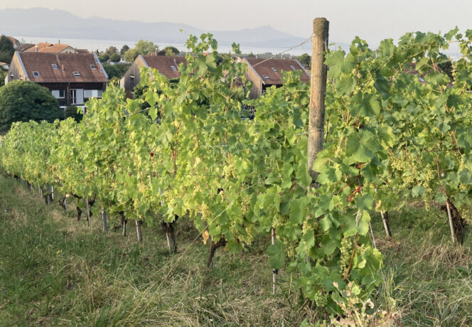
Satellite data can be used to measure crop growth on fields. Harvest yields have already been estimated in this way on a large scale, for, among others, the whole of the US and entire regions in Australia, using e.g. NASA Landsat satellite data.
European satellites provide higher spatial resolution
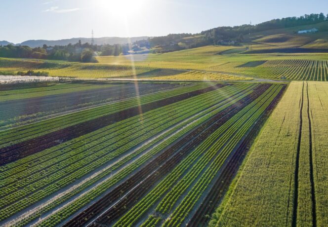
How could this method work in areas with small-scale agriculture, like Switzerland? The DeepField Project pursued answers to this and other questions through the collaboration of ETH Zurich, the University of Zurich and Agroscope. Funded by the Swiss Federal Office for Agriculture, the project uses freely available data from European Space Agency (ESA) Sentinel-2 satellites, which have a spatial resolution of up to 10m and an overflight frequency of 3–5 days – both of which are higher than for Landsat satellites.
Optimised for vegetation monitoring, the Sentinel-2 satellites’ instruments record the light reflected by plants as a spectral signature. This signature enables conclusions to be drawn about plant properties such as biomass and chlorophyll content, which can also reflect the nitrogen content of the plants.
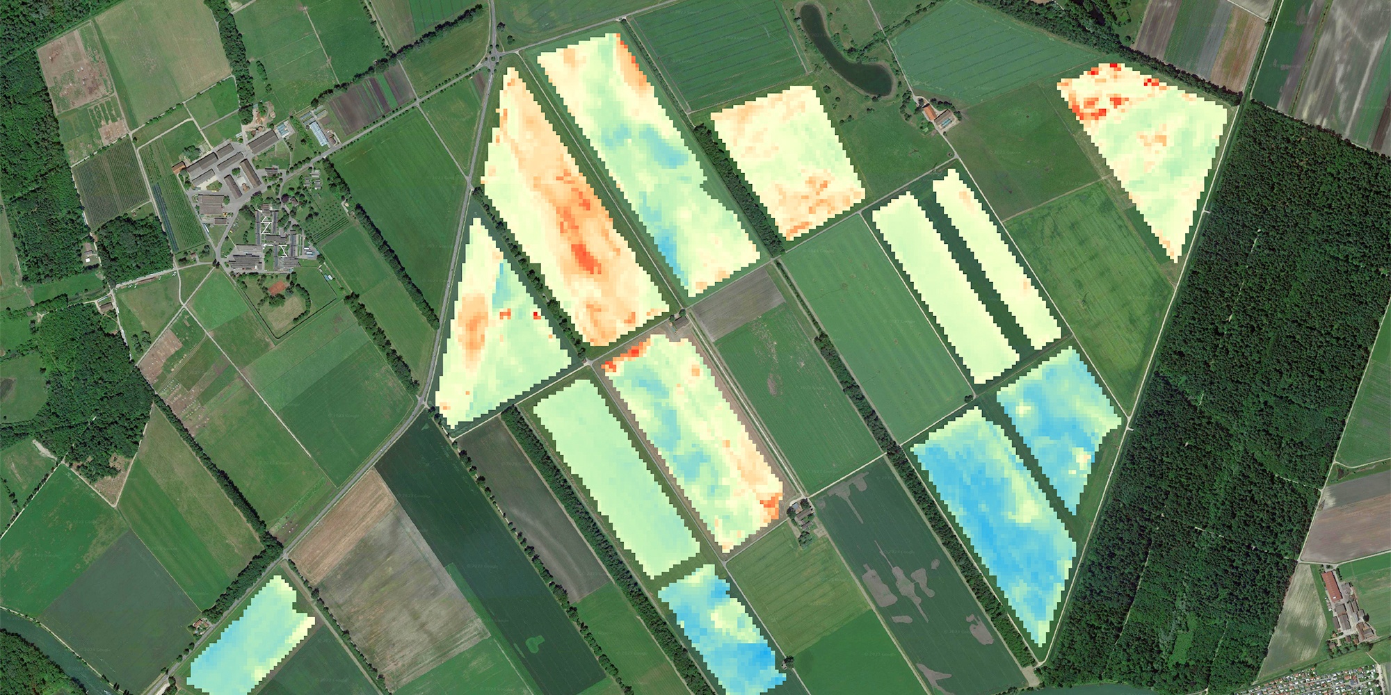
In a recently published study, the team shows that it is possible to model harvest yields within grain fields with the 10m resolution in the small-scale surface areas characteristic of Swiss agriculture. This method was tested on a – by Swiss standards – large farm in Witzwil, Canton of Bern, where the yield map of the modern combine harvester could be used as model training data.
Easier data handling thanks to ArtificiaI Intelligence
The research team compared four modelling methods: three relatively frequently used methods and one relatively new approach based on Artificial Intelligence (AI), i.e. neuronal networks. It was shown that the AI method could independently pick out cloudy and clear-sky data points from the satellite images, which greatly simplifies and thus speeds up pre-processing of the measurement data.
According to the authors, this study shows that harvest yields can be successfully modelled using ESA satellite data, existing methods and AI. For the method to be used in practice, more yield maps would be required and these would need to be distributed throughout Switzerland to enable the models to be more widely calibrated and supported.
Possible applications: yield forecasts, precision farming, environmental monitoring
Among other things, small-scale modelling and forecasting of harvest yields can be used to assess Switzerland’s food security at an early stage and to produce both Switzerland-wide and farm-specific yield-potential maps. Farms could use such findings to optimise fertilisation, sowing density and other cultivation strategies, as well as to identify and subsequently reduce possible environmental impacts.
Fazit
- Freely available European Space Agency satellite data could in future be used to estimate harvests on fields in the small-scale context of Switzerland.
- Neuronal networks are suitable for estimating harvests, as they work as well as existing models whilst having the advantage of being able to independently filter out useless data, thereby simplifying data processing.
- For use throughout Switzerland, the method must first be calibrated on a larger scale. For this, multiyear yield maps for other regions of Switzerland are also needed.
- The method is suitable for use within the context of agri-environmental monitoring and for assessing food security, as well as for precision farming, e.g. as a basis for site-specific fertilisation.
Bibliographical reference
Remote Sensing Allows Prediction of Yields within Grain Fields