Where Is It Worth Protecting Birds in Agricultural Landscapes?
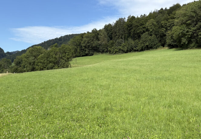
Photo: 123rf.com
A focus map created by Agroscope, ETH Zürich and the University of Lausanne shows where biodiversity measures could have a positive impact on birds, and where not. These findings will contribute towards planning land use more effectively.
Switzerland has set itself the target of meeting more than 50% of its national food demand domestically. However, with growing pressure on land, increased agricultural productivity is at odds with the protection of biodiversity and natural resources. To mitigate these conflicting goals, experts at Agroscope, ETH Zürich and the University of Lausanne have developed a spatially explicit map which aims to help optimise land use for bird species defined as ‘agriculture-related environmental objectives’, i.e. priority species for conservation in agricultural landscapes.
Birds as indicators
Birds are commonly used as indicator species in agricultural landscapes. Accordingly, a modelling method which can identify small-scale focus zones for the protection of birds was developed.
Species distribution models of 27 bird species were spatially overlaid with the impact of agricultural activities modelled by the Swiss Agricultural Life Cycle Assessment for Biodiversity (SALCA-BD). The resulting map (see figure 1) shows which zones can continue to be managed as before (green on map: low management impact, high potential for species diversity) and where targeted measures are beneficial for bird protection (orange on map: high potential for species diversity, but high management impact).
Promotion and conservation zones
One third (31%) of the utilised agricultural area has the potential for ‘promotion zones. These zones have a high potential for bird species diversity and at the same time, high pressure on biodiversity due to agricultural activities. Here, targeted promotion measures, e.g. the creation of ecological focus areas or extensification of land use, can support birdlife.
Around one fifth (18%) of farmland was declared ‘conservation zones’. Here, high potential for bird species diversity is combined with low management impact. In other words, agricultural activities are beneficial to birds. These regions have a particularly large number of ecological focus areas and consequently lower intensity of agricultural activities.
Status quo and planning tool in one
The resulting spatially explicit map for the protection of birds in agricultural landscapes can be used to plan targeted and effective conservation and promotion measures for birds, benefiting biodiversity overall. Regionalised approaches provide an opportunity to maintain agricultural production while at the same time promoting biodiversity in the long term.

Conclusions
- ‘Conservation zones’ with low management impact and high species potential make up around 18% of the studied farmland and consist mainly of grassland and structures.
- “Promotion zones’ with high management impact and high species potential make up around 31% of the land and mainly consist of arable land with few structures. Most are located in the Swiss Plateau.
- The spatially explicit map helps to plan land use more effectively to reduce conflicts between biodiversity and production.
- In future, new methods could be used to create species-specific maps which can more adequately address the needs of individual species.
Bibliographical reference
Identifying focus zones for the conservation and promotionof priority birds in Swiss farmland.